
What The Auckland Subdivision Process Looks Like After You Decide To Proceed
Deciding to subdivide is usually the easy part. The harder part starts once you move past the idea and begin dealing with the actual process.
A lot of property owners assume the next step is drawing up a plan and lodging it with the council. In reality, subdivision in Auckland moves through a series of technical, legal, and practical stages. Each stage affects timing, cost, and what can realistically be achieved on the site.
We often speak with people who already know their property has potential, but they are less clear on what happens next. That is where the process can become confusing. There are surveys to complete, planning rules to work through, access and servicing to confirm, engineering input to coordinate, and council conditions to satisfy before new titles are ever issued.
If you are past the early “can I subdivide?” stage, here is what the Auckland subdivision process actually looks like after you decide to proceed.
Start By Confirming The Site Conditions Properly
Once you have decided to move forward, the first priority is making sure the site is understood in detail.
This means more than looking at the title and zoning. You need accurate information on boundaries, levels, contours, existing buildings, services, access, easements, and any physical constraints that could influence the layout. If this information is incomplete or wrong, every decision that follows becomes less reliable.
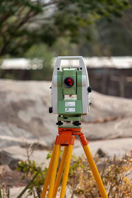
That is why early topographic survey work is such a key part of the process. It gives the design and planning team a proper picture of the land so they are not trying to make decisions from assumptions or outdated plans.
Boundary information matters just as much. If legal boundaries are unclear, or if there are title complications, those issues need to be identified before the subdivision design moves too far.
Move From A Rough Idea To A Workable Layout
Once the site data is in place, the next stage is developing a concept that actually works on the land.
This is where subdivision starts becoming real. The proposed lot layout needs to respond to access, site shape, services, stormwater, levels, and planning controls. A layout that looks fine on paper can quickly run into trouble if driveways are too tight, buildable areas are compromised, or servicing is more difficult than expected.
Good land development planning helps test these issues early. It is the point where the project starts being shaped around the site rather than around a hopeful sketch.
In Auckland, this stage is especially important because zoning alone does not tell the full story. Overlays, access arrangements, existing development, and infrastructure constraints can all influence what the final subdivision looks like.
Check Access, Services, And Engineering Requirements Early
This is one of the stages where many subdivisions either stay on track or start becoming more expensive than expected.
New lots need legal and practical access. They also need servicing that works properly, including water, wastewater, stormwater, and other infrastructure requirements. Depending on the site, this can become one of the biggest parts of the project.
Auckland subdivisions are rarely approved on layout alone. Council also wants to know that the lots can function properly once they are created. That usually means engineering input is needed early, especially where there are difficult contours, long driveways, retaining, drainage issues, tight access arrangements, Watercare constraints, or geotechnical and flooding risks.
This is where coordinated subdivision surveying becomes valuable. It helps bring together the legal, physical, and servicing sides of the subdivision before major time and money are spent on the wrong design path.
Prepare And Lodge The Resource Consent Application
Once the layout and supporting technical information are in a good place, the project moves into the consent phase.
For most Auckland subdivisions, this means preparing and lodging a resource consent application supported by the right plans and reports. The quality of this package has a direct impact on how smoothly the application runs.
A weak application often leads to delays, requests for further information, and unnecessary redesign. A strong one gives council a clear understanding of the proposal, the site constraints, and how the project will address those constraints.
If you have already read our blog on how to successfully apply for resource consent in NZ, you will know that preparation is usually the difference between a smoother process and a drawn-out one. That is especially true for subdivision work, where survey, planning, architecture and engineering all need to line up properly.
Work Through Consent Conditions Before Construction Starts
Getting consent approved is a major milestone, but it is not the finish line.
Subdivision consents usually come with conditions that must be met before new titles can be issued. These can include requirements around access formation, stormwater works, wastewater connections, retaining structures, easements, rights of way, or service upgrades.
This is the stage where the project shifts from consented design into delivery. Physical works may need to be completed, documented, and checked against council requirements. If the consent conditions were not well understood upfront, this stage can become frustrating and expensive.
That is why we always see value in making sure the consented scheme is practical to deliver, not simply capable of being approved.
Complete The Final Survey And Legal Documentation
Once the required works and conditions are addressed, the subdivision needs to be finalised through formal survey and legal processes.
This is where the approved layout is translated into the legal framework that allows new titles to be created. New boundaries are defined, easements and access rights are documented where needed, and the final survey information is prepared for approval.
This stage is critical because the legal outcome has to match the approved development on the ground. Any mismatch between the plans, the built works, and the final survey can create delays.
Accurate boundary surveys and careful coordination through this stage help avoid last-minute problems that can hold up title issue.
Title Issue Is The Last Step, Not The First Goal
A lot of people talk about subdivision as if it ends when consent is granted. In practice, the real endpoint is the issue of the new titles.
That happens only after the necessary works are completed, the survey is approved, conditions are signed off, and the legal steps are finalised. Depending on the site, this part of the process can take longer than many owners expect.
This is one reason subdivision projects benefit from realistic planning at the start. The process is rarely just a planning exercise. It is a coordinated project that moves through surveying, design, engineering, consent, works, and legal completion.
Why Early Coordination Makes Such A Difference
The Auckland subdivision process works best when the right questions are being asked early.
If the site data is solid, the layout is practical, the servicing has been thought through, and the consent package is prepared properly, the project is usually in a much stronger position. If those pieces are fragmented or rushed, the process tends to become reactive.
Talk To Us Before The Process Gets Harder Than It Needs To Be
We help clients move through that process with practical advice and reliable technical support. If you are ready to progress a site, we can assist with subdivision surveying, resource consent applications, topographic survey, and the wider planning work needed to keep the project moving.
The earlier the right groundwork is done, the easier it becomes to make confident decisions and avoid avoidable setbacks.

