We work with clients across Auckland and wider New Zealand who come to us at different stages. Some already know consent will be required. Others are still trying to figure out if their site, proposal, or title situation is likely to trigger it. In both cases, the projects that tend to run best are the ones that start with the right information early.
If you are planning a subdivision, new build, extension, land development project, or title change, here is what a successful resource consent process comes down to.
Understand What Resource Consent Is Actually For
Resource consent is not simply a formality. It is the process councils use to assess how a proposed activity fits within planning rules and how it may affect the surrounding environment, neighbouring properties, infrastructure, and public services.
That means the question is rarely just, “Can this be done?” It is usually, “Can this be done on this site, in this way, under these rules, with these effects?”
This is where people often run into trouble. A proposal might seem straightforward, but once zoning, access, stormwater, flood risk, servicing, site coverage, setbacks, or neighbour effects come into the picture, the pathway can become much more technical.
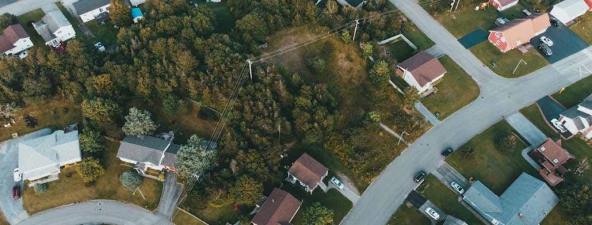
Start With Site Due Diligence
A successful application usually begins long before anything is lodged with council. Before drawings are pushed too far, the site itself needs to be understood properly.
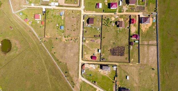
That starts with checking the title, legal boundaries, access arrangements, easements, existing services, overlays, and physical constraints. If any of these are unclear, they can slow the entire process down later.
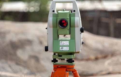
This is where early boundary surveys and site analysis become valuable. Clear boundary information helps avoid issues with setbacks, access, and legal site dimensions. If the boundaries are wrong or assumed, the proposal can quickly become vulnerable to redesign.
It is also important to look at topography and site conditions from the start. Slope, drainage patterns, existing structures, and ground levels all influence what is practical from both a planning and engineering perspective. A proper topographic survey gives the design team accurate information to work from, rather than forcing decisions based on guesswork.
Make Sure The Proposal Fits The Site
One of the most common reasons applications become difficult is because the proposal has been designed for a development before the site constraints were fully understood.
A good resource consent strategy works the other way around. The site should shape the proposal.
If the property has flood risk, unstable land, difficult access, servicing limitations, or title complications, these need to be built into the planning process early. Trying to force an unrealistic layout onto a constrained site often leads to delays, further information requests, and cost that could have been avoided.
This is why land development planning is so important before consent is submitted. It helps align the project with what the land can realistically support, and gives everyone involved a clearer direction from the outset.
Get The Right Supporting Information Together
A strong resource consent application depends on the quality of the information behind it. Council is not only assessing the idea, but also the evidence.
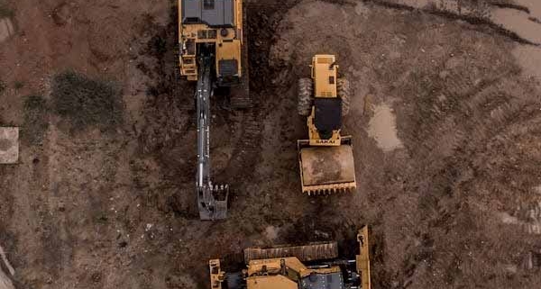
Depending on the project, that may include survey data, planning analysis, engineering input, drainage information, access details, servicing reports, and drawings that reflect actual site conditions.
We have seen plenty of cases where better preparation up front would have made the whole application smoother. If you want a useful guide, have a look at common mistakes to avoid in your NZ resource consent application, diving deeper into the issues that often derail projects.
Think Beyond Planning Rules Alone
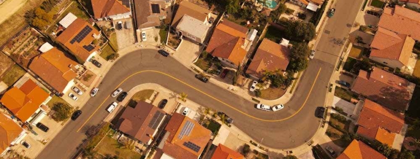
A resource consent application is rarely just about the district plan or unitary plan. It also has to stack up practically.
- Can the site be serviced properly?
- Can stormwater be managed?
- Is vehicle access safe and compliant?
- Do the existing legal arrangements support the proposal?
- Will the physical shape of the land make construction or subdivision difficult?
These questions matter because the council will often assess the wider effects of development, not only the concept drawings. If servicing, access, or earthworks issues are left unresolved, the application can struggle even if the proposal looks acceptable on paper.
For this reason, projects involving land reconfiguration or new titles should often bring in subdivision surveying early. It allows legal, physical, and planning considerations to be looked at together instead of separately.
Communication Matters More Than Most People Think
Resource consent tends to work best when the surveyor, planner, engineer, and property owner are all working from the same understanding of the site.
Problems often start when each consultant is working from different assumptions. A planner may be assessing a layout that does not reflect the real boundaries. An engineer may be designing around levels that were never properly surveyed. A client may be budgeting for yield that was never realistic in the first place.
Good coordination removes a lot of that noise. It creates a cleaner application, a clearer strategy, and a better chance of avoiding costly course corrections later on.
Get Clear Before You Commit Too Far
The best time to get advice on resource consent is before the project has gathered too much momentum in the wrong direction.
If you are looking at development potential, subdivision, site constraints, or title issues, we can help with resource consent applications, boundary surveys, topographic survey, and land development planning so the next step is based on reliable information.
Resource consent in NZ does not have to become a drawn-out headache. With the right groundwork, the right team, and a proposal that responds properly to the site, the process becomes far easier to manage. That is usually where the best outcomes begin.