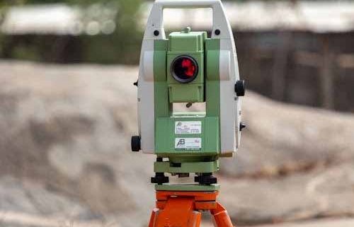
Deciding to subdivide is usually the easy part. The harder part starts once you move past the idea and begin dealing with the actual process.

Deciding to subdivide is usually the easy part. The harder part starts once you move past the idea and begin dealing with the actual process.
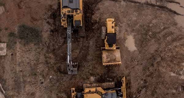
Land development can look straightforward from the outside. A site has space, the location seems right, and the end goal feels clear. Then the real work begins. Zoning controls, site constraints, servicing requirements, natural hazards, access, title issues, and council processes can all shape what is actually possible.
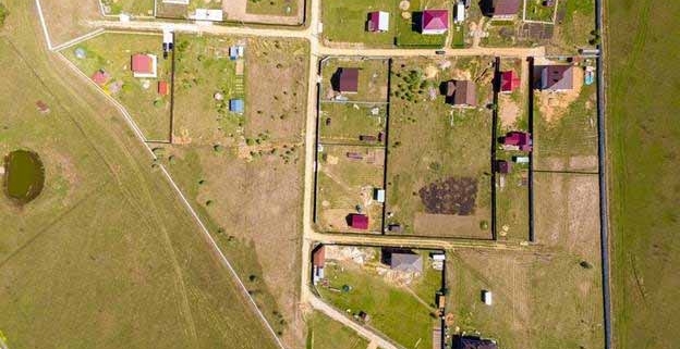
When you are planning a development or construction project in Auckland, understanding natural hazards is essential. Flood zones, land instability, coastal inundation and other hazard overlays affect safety, consent requirements, design, infrastructure costs, and long term value.

When you own or plan to develop land in New Zealand, easements may not be the first thing on your mind. However, they play a fundamental role in how properties are used, how services are provided, and how developments proceed.

A residential boundary survey provides clarity and legal certainty around property boundaries. For many homeowners, boundary issues only arise when building, fencing, selling, or dealing with a neighbour. By that stage, uncertainty can lead to disputes, delays, and unexpected costs.

Accurate, timely information about land is essential for successful development, planning, and construction projects. Traditional ground surveys have long been the backbone of land assessment. In recent years, drone surveying has emerged as a powerful tool that enhances speed, accuracy, and safety. At Fluker Surveying, we combine industry expertise with the latest technology to deliver high-quality results that help clients make confident decisions.
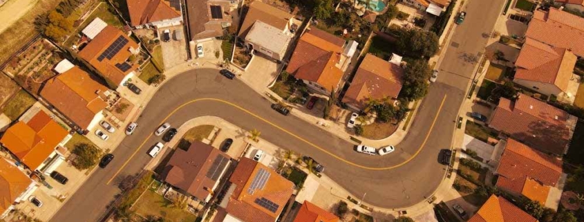
Cross lease titles are common across New Zealand, particularly in established suburbs. While they can offer an affordable entry point into property ownership, they also come with legal and practical complexities that many owners only discover when they plan to renovate, subdivide, or sell.
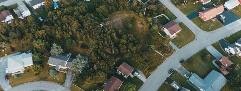
Subdividing land in Auckland remains one of the most effective ways to unlock value from properties, but it is also one of the most regulated. With planning rules continuing to evolve, property owners and developers need to understand not just what is allowed today, but how future changes may affect subdivision potential over the next few years.

When you own a piece of land or property in New Zealand, you might find yourself asking:
“What can I do with my site? What are my development options?”

Auckland homeowners and investors are increasingly interested in adding granny flats / minor dwellings to their properties. These are small, self-contained homes with their own kitchen, bathroom, bedroom, and living area, ideal for generating rental income or housing extended family members.